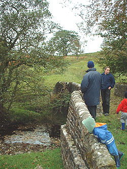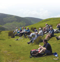
Walking Yorkshire Dales, Ribble Valley and The Forest of Bowland
The best maps for the area are Ordnance Survey OL41 Forest of Bowland & Ribblesdale, Ordnance Survey OL2 Yorkshire Dales: S & W areas
All links will open in a new window.
Leaflets produced by local tourist bodies in PDF format
Yorkshire Dales
Settle and Attermire Scar (pdf)
Ingleton Waterfalls Trail web site
Janets Foss and Malham Cove (pdf)
Grassington (pdf)
Catrigg Force (pdf)
Malham Tarn circular (pdf)
The Pennine Bridleway Settle Loop (pdf)
Forest of Bowland
Bell Sykes Hay Meadow Walk (pdf)
River Dunsop and Black Brook Circular (pdf)
Newton to Dunsop Bridge Circular (pdf)
Leap in the Park: Radholme Circular (pdf)
About the Forest of Bowland
Forest of Bowland AONB discovery guide (pdf)
Ribble Valley
Bolton by Bowland Nature Walk (pdf)
Edisford Bridge to Brungerley Bridge (pdf)
Edisford Bridge to Little Mitton (pdf)
Tolkien Trail, Walk in the footsteps of author J.R.R. Tolkien (pdf)
Please follow the Countryside Code (pdf)
![]() Don't have acrobat reader? Then visit www.adobe.com to download the reader.
Don't have acrobat reader? Then visit www.adobe.com to download the reader.